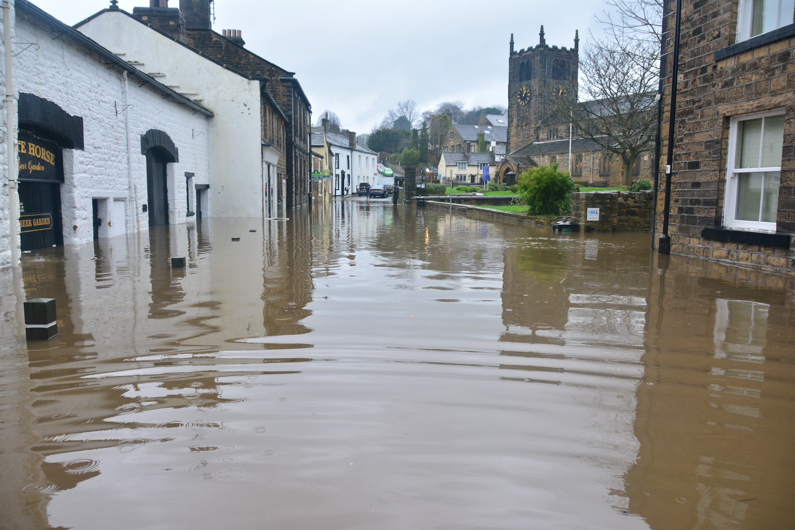
The tropical cyclone continues to generate heavy rains in Southern Florida, while continuing its route towards the southwest coast of the peninsula, to make landfall somewhere between Fort Myers and Bonita Springs.
The National Hurricane Center (CNH), based in Miami, maintains a tropical storm warning for southern Florida on both coasts and anticipates that the cyclonic phenomenon will gain some strength before entering the peninsula.
The small cyclonic storm, which has not yet been named but is emitting sustained winds of 40 miles per hour (65 kilometers per hour), is located 90 miles (144 km) southwest of Fort Myers.
Its unorganized vortex emits most of the winds to the east and southeast, so it is expected that the Miami metropolitan area, which is within the radius of action of the cyclonic phenomenon, could feel the presence of winds greater than 20 mph (32 km/h).
According to the report, Miami could accumulate seven to 10 inches of rain between Friday and Saturday.
What does a tropical storm warning mean?
Tropical storm conditions with winds greater than 39 mph (62 km/h) are likely in the indicated area within 36 hours.
It is during this danger period that you should finish preparing your home and have an evacuation plan in place if necessary. Pay close attention to the instructions of the authorities in your locality.
Background
Hurricane Agatha entered the extreme south of Mexico from the Pacific Ocean with winds of 105 miles per hour, about 165 kilometers per hour, but in just a few hours it lost strength as it passed through the mountains of the Sierra Madre Oriental, and is now its remnants they head towards Cuba and Florida.
The National Hurricane Center (CNH), based in Miami, monitors the trajectory of the cyclonic phenomenon and grants a 90% chance of development, given the warmer temperature that exists in the Gulf of Mexico and the Straits of Florida.
This is the time to prepare. Populations throughout western Cuba and southern Florida should be aware of weather reports and start stocking up on water and canned food for any eventuality.
Two dead, one missing and dozens of landslides in Havana due to heavy rains
Hurricane season
The cyclonic season began on June 1 and the National Oceanography and Atmospheric Science Authority (NOOA) forecasts that it could be more active than normal, given the presence of the natural phenomenon La Niña, which tends to reduce the flow of cutting winds, which They do so much damage to cyclones.
The report raises the possibility of 14 to 21 storms with winds greater than 39 miles per hour, about 62 kilometers per hour.
Of those, six to 10 would be hurricanes and three to six could exceed winds of 111 miles per hour, about 178 kilometers per hour.
Let us remember that the forecast is subject to change, depending on the development of temperature and winds in the sea and the lower layers of the atmosphere, and that the figures indicated do not apply only to a specific area, but to the entire Atlantic zone, including the Caribbean Sea and the Gulf of Mexico.
A “normal” cyclonic season supposes the creation of 14 tropical storms and seven hurricanes, three of them major.
The last two seasons have also been more active than normal, with a record 30 storms in 2020 and 21 cyclonic events in 2021.


GIPHY App Key not set. Please check settings